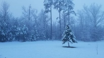

The handwriting has been on the wall for a while about a possible significant winter-like storm focused around Tuesday, November 13th. I’ve been posting my thoughts on the ilsnow.com Facebook page.
Of course, there will be some weather before the November 13th event. A vigorous low-pressure system will roll through here later Friday into early Saturday. The lion’s share of the precipitation across Upstate New York will be rain. But there will be some “trouble spots” as mentioned on this Facebook post:
The Main Event
The chain of events through this weekend will help set us up for Tuesday’s storm by providing the requisite cold air-mass before the event.
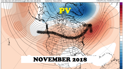
Instead of driving ourselves mad by looking at possible snow accumulations for an event that is still several days away, let’s just look at the big picture based on the ensembles:
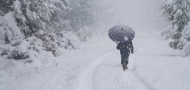
Stormy Tuesday!
By Tuesday morning, GEPS ensembles are indicating a classic energy transfer scenario from the energetic Canadian Clipper system moving through the Great Lakes states to a developing coastal/nor’easter type storm:

Of course, the individual operational model runs show all kinds of permutations in snowfall predictions based on various storm tracks and thermal profiles (snow vs. mixed precipitation).
But the overlying message is that Tuesday’s storm is likely to produce the first widespread travel disruption event of the season for Update New York. There is potential for significant snowfall over a large region.
Lake-effect Wednesday
After Tuesday’s storm passes on, we’ll have a direct shot of Arctic air for Wednesday:

With a deep northwesterly flow, the heaviest lake-effect snows are likely to focus on central-NY for Wednesday. But there should be orographically enhanced snows for the northern and western Adirondacks as well, gradually piling onto the snow we get on Tuesday.
Wednesday night will be quite cold as lake-effect and orographic snows gradually wind down. A recent run of the ECWMF showed high pressure cresting over ilsnow land Thursday morning with minimum temperatures around zero for ilsnow land! Check it out:

In January, this would merely be standard-issue cold. For mid-November, this is seriously cold!
I’m not sure whether the winds would die off enough to attain these minimum temperatures, but I’m just addressing the possibility.
So, get ready for a week of fun and gun for ilsnow land! Remember to check my Facebook page for updates.
For the ilsnow nation,
Darrin
This report is brought to you by Pilot Knob Marina in Lake George. Just get off Northway I-87 Exit 20, then follow NY Route 149 East until you hit the junction of NY Route 149 and Bay Road. Pilot Knob Marina features a wide selection of new and pre-owned Arctic Cat snowmobiles & ATVs. If you see Nick Barber, tell him that Darrin @ ilsnow.com sent ya!